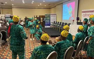
WRI has worked to boost the capacity of Niger’s budding restoration entrepreneurs. Credit: Salima Mahamoudou/WRI
World Resources Institute and Niger’s Ministry of Environment and Sustainable Development partnered up to create a three-part capacity building series on restoration monitoring. This builds on WRI’s previous work with the country’s restoration entrepreneurs. In August, the series engaged 10 geospatial analysts from Niger’s “SITR” (national information system on restored land) unit to: (1) assess the benefits and limitations of land use maps, (2) apply FAO’s Collect Earth tool to detect tree growth in agricultural land, arid zones, and forests, and (3) select key indicators to track and report progress. This is part of a larger effort to transfer technology and build capacity on implementing and monitoring Niger’s 3.2-million-hectare target set under AFR100. The goal is to scale up regreening across the country.
The three-part series drew on experience from Ethiopia and Cameroon, where WRI has worked for 15 years to strengthen geospatial data management systems. More specifically, lessons and best practices from Ethiopia’s Restoration Atlas and Cameroon’s Forest Atlas were applied. The series contributes to the EU-funded “SITR” information system, which aims to increase access to data on food security, nutrition, and sustainable agricultural development in Niger.