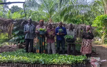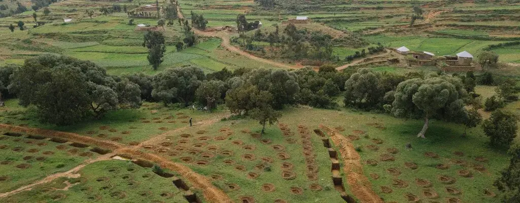
A landscape under restoration in Tigray, Ethiopia. Aron Simeneh/for WRI
Ethiopia’s Ministry of Environment, Forest and Climate Change (MEFCC) released the country’s first-ever national forest landscape restoration potential assessment, revealing that 82 million hectares, or 73% of Ethiopia’s total land mass, could benefit from tree-based landscape restoration.
The National Potential and Priority Maps for Tree-based Landscape Restoration in Ethiopia, detailed in the report, identified not only where restoring land is desirable, but also where restoration activities should be coordinated between the agriculture, forest, water, biodiversity, and energy sectors. A total of 54 million hectares has been prioritized for coordinated restoration, with 11 million hectares marked as the highest priority, mostly in areas suffering from, or at risk of, severe erosion, ecosystem degradation, food insecurity, and limited wood fuel.
Restoring degraded land and protecting existing forests are central to Ethiopia’s achieving the ambitious goals in its Climate Resilient Green Economy (CRGE) Strategy of 2011: to reach middle-income status by 2025 and shift to a climate-resilient green economy. Ethiopia has a strong history of regreening its land. Communities and the government have already restored millions of hectares in different regions. Building on that success, Ethiopia has pledged 15 million hectares to the Bonn Challenge and the New York Declaration on Forests through the AFR100 initiative. The National Potential and Priority maps are a step towards realizing the ambitious domestic and international goals and will continually be refined using new data.
Working with over 100 national and regional experts across dozens of institutions, the MEFCC mapped where eight tree-based landscape restoration options could be used throughout the country:
1) Restoring secondary forests (i.e., afforestation/reforestation),
2) Restocking degraded natural forests,
3) Agri-silviculture and agro-silvo-pastoralism,
4) Silvo-pastoralism,
5) Woodlots and home gardens,
6) Commercial plantations for products other than industrial roundwood,
7) Buffer plantations around protected areas and national forest priority areas,
8) Tree-based buffer zones along rivers, lakes, and reservoirs.
These eight options were tested for accuracy in four woredas (districts).
The national restoration potential atlas now shows the combined potential of all eight options to help the government, local communities, NGOs, and the private sector implement restoration on the ground. Ethiopia is dedicated to a multi-stakeholder, collaborative approach because the government and its partners see it as the only way to move forward and restore the 15 million hectares pledged to AFR100.
Map. Land Use-Land Cover in Areas with Combined Potential for Tree-Based Landscape Restoration
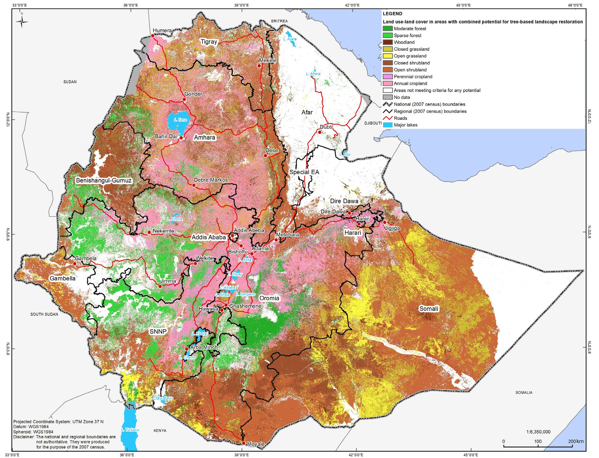
Sources: International boundaries: UC Berkeley et al. 2015. Census boundaries, cities, and towns: CSA 2007. Roads: ERA 2007. Major lakes: MoWIE 2015. Combined tree-based landscape restoration potential: MEFCC 2018. Land use-land cover: EMA 2015.
In the spirit of collaboration, the report and maps, produced with the support of World Resources Institute and the Clinton Foundation, draw on the knowledge of regional and local officials and experts throughout Ethiopia. To determine which areas were most in need of coordination and cross-sector implementation of restoration, experts ranked each watershed on several categories, including land degradation and soil erosion risk, food insecurity, wood fuel deficit and biodiversity.
Local decision-makers can now combine the information revealed through the maps with their data on land tenure and availability, so that investment can flow. This will enable: the restocking of existing degraded forests to restore their role in biodiversity conservation, carbon sequestration and sustainable income generation; the establishment of new forests on forest lands to generate economic benefits, prevent landslides and flooding, and increase carbon sequestration and biodiversity; the scaling up of agroforestry to increase productivity, reduce erosion and increase livelihood diversification, fodder production and soil fertility; more trees to stabilize riverbanks and control sedimentation, as well as the promotion of commercial plantations to meet the domestic and international demand for industrial wood and other tree products.
These maps—with the benefit of a strong enabling environment and numerous technical and financial partners—will help the country restore millions of hectares of degraded and deforested land, creating hundreds of thousands of jobs, doubling the contribution of forests to the GDP, sequestering carbon, and conserving the environment for future generations.
Funding for this work was provided by the German Federal Ministry for the Environment, Nature Conservation and Nuclear Safety; the German Federal Ministry for Economic Cooperation and Development; the Government of Norway; the Global Environment Facility Fund and UN Environment.